From Sky to Strategy

Survey at Scale

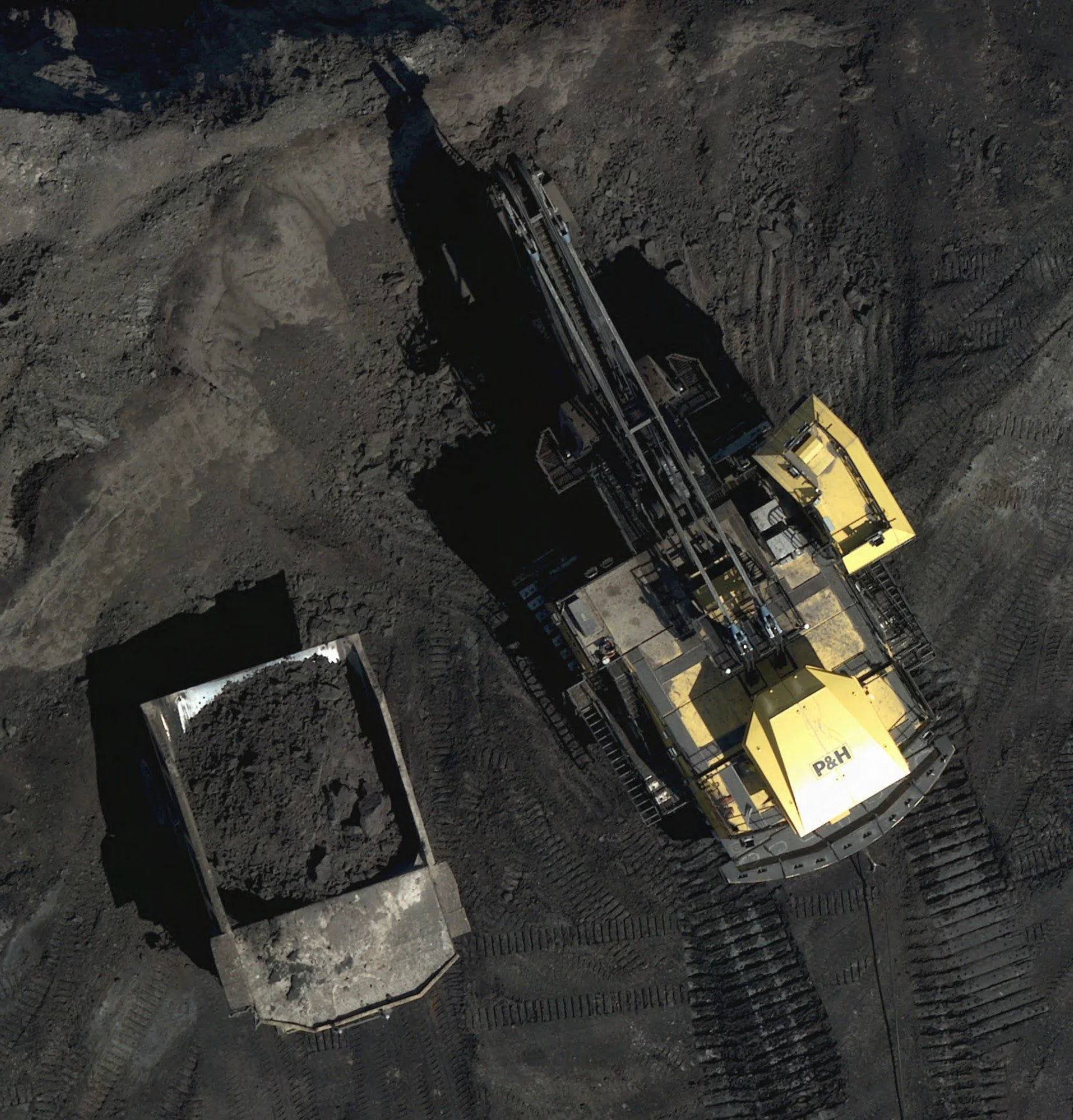
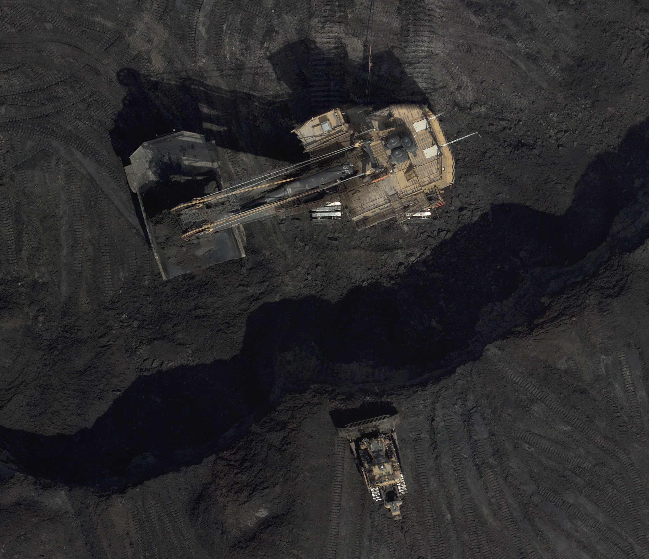
LAS Corp revolutionizes traditional geomatics solutions. From asset-scale to targeted collections, we acquire and transform LiDAR and Aerial Imagery into actionable business intelligence, delivering the answers you need for greater operational success.

Explore data-driven excellence with LAS Corp.

  • High Resolution & Accuracy

    Survey-grade centimeter-level RMSE accuracy.

  • Fast Turnaround

    Near real time access to impactful business intelligence.

  • At Scale

    Numerous UAV collection campaigns, spanning days/weeks can be replaced with a single-day, asset-wide collection.

  • Early Detection = Rapid Response

    Recurring environmental surveillance helps our clients ensure a safer environment for employees and the community.